jueves, 12 de octubre de 2017

Origin Myths of the Inca Civilization & Piecing Together Royal Heritage 3


Paracas elongated skulls ( CC BY 2.0 )

Qapac Simi faded out of existence after the atrocities committed by Atahuallpa, and was further reduced by the Spanish trying to wipe out any vestiges of the Inca culture. The conditioning of the Inca into becoming Spanish subjects was not done through persuasion, but persecution. Luckily for modern researchers, what was able to be saved from extinction of the Inca cultural ways was kept secretly by the descendants of the Inca, and other people.

So, the story of the Inca and their origins is likely not as is written in most text books today. Rather than the simple movement of a people from the shores of Lake Titicaca about 1000 years ago, it is likely far more complex, as has been shown in this article. To complicate matters even more, the writings of Fernando de Montesinos adds another wrinkle to the whole story.

Inti, Sun God of the Inca, Spawned the First Rulers of An Unforgettable EmpireInca Empire Constructed Over 40,000 Kms of Roads and Superhighways in 100 Years

He arrived in Peru from Spain in 1628, and over the course of decades compiled vast manuscripts about the plight of the Native people of the Andes regions. Being a Jesuit, he was able to access the first records made by the Spanish of what they had learned from the Inca and other Native people soon after contact. Among these accounts included a list of 93 Inca or pre-Inca rulers that supposedly existed in Cusco prior to the time of Manco Capac. As the latter and his family were either likely related to, or amalgamated with these earlier noble people, that would make a royal heritage not of 12 Inca, but a total of 105.

Inti Raymi (Festival of the Sun) at Sacsayhuaman, Cusco ( CC BY-SA 3.0 )

Weaving History Back Together

The high or Sapa Inca ruled on average for 30 years, being replaced at death by his first-born son in most cases. That would mean that the Inca heritage, rather than being about 500 years in duration, was more on the order of 3500 years. More facts and evidence will be revealed as the author continues to weave back together the heritage of the Inca, thanks to sources and friends in the Cusco area.

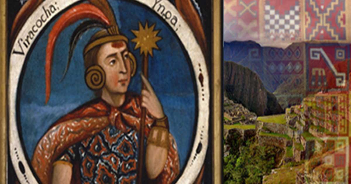
Top image: Hatun Tópac; Viracocha, Portraits of Inca Kings, and Inca Tunic (Public Domain), Machu Picchu ( CC BY-SA 3.0 )

By Brien Foerster

References

Brien Foerster (2011) ‘Inca Before the Conquest’. 2017 Hidden Inca Tours

Brien Foerster, David Hatcher Childress (2013) ‘The Enigma of Cranial Deformation: Elongated Skulls of the Ancients’, Adventures Unlimited Press (September 11, 2013)

Origin Myths of the Inca Civilization & Piecing Together Royal Heritage 2


Manco Cápac holds a shining staff. First Inca, 1 of 14 Portraits of Inca Kings ( Public Domain)

It was said that where this staff was thrust into, and sank completely into the ground, they would establish a new home. Accounts vary, but according to some versions of these legends, Manco Capac got rid of his three brothers, trapping them or turning them into stone, thus becoming the leader of Cusco.

Shifting Genetics of the Noble Line

The ”Inca” does not refer to the general population, but to the highest class of the society, who protected their royal bloodline by breeding with each other. Garcilaso de la Vega was a Peruvian writer of the 16th and early 17th centuries, and was half Inca and half Spanish. In De La Vega’s accounts, just after the arrival of the Spanish in Peru, they found that a civil war among the Inca was raging.

Garcilaso de la Vega, a famous Peruvian writer. (Public Domain)

The Inca world, erroneously called an empire (which is a European term) had been divided into two by the last of the great Inca rulers named Huayna Capac. Just prior to his death in 1527 (likely the result of smallpox), he divided the land between his northern son Atahuallpa, and his Cusco-based son, Huascar. After five years of unease between the brothers, Atahuallpa’s army moved rapidly from their base in the northern city of Cajamarca, entered Cusco, and wiped out all the royal Inca people that they could find, which was most of them.

That means that the genetic ‘purity’ of the Inca began to dissipate from that time afterwards, and presently there are not many people who can claim a high Inca blood quantum. Two ladies that the author has met live in Cusco and have documentation showing that they are direct descendants of the 6th high Inca ruler named Inca Roca (magnanimous Inca.) According to their family’s stories the Inca did not originate in one place, but were an amalgam of different people of noble heritage. It is quite clear that inbreeding over time causes birth defects, and thus they may have introduced other people of noble blood into their lineage both to reduce genetic problems, and also as a way to strengthen ties with other indigenous groups.

Inca Ruler Lineage (Public Domain)

The Red Hair of the Inca

In the earliest of the Spanish chronicles, the accounts of one of the brothers of the head conquistador Francisco Pizarro states that some of the Inca he saw had reddish hair, and pale complexions. As most of the Inca royal family had been wiped out at the orders of Atahuallpa prior to the Spanish entering Cusco, this is the only account we have of such a genetic variation from the common Native people of the area. However, another ancient society that had genetically auburn red hair, and likely light skin color, were the Paracas people of the coast of modern-day Peru. The Paracas existed from about 800 BC to about 100 BC or perhaps 100 AD, and evidence is strongly suggesting that a culture called the Topara invaded Paracas territory around 100 BC to 100 AD and exterminated the noble classes of the Paracas. These ancient people are most famous for having elongated skulls, as well as dark red hair.

Such characteristics disappear from the archaeological record around 100 AD, and thus it is the author’s belief that the Topara, who later became known as the Nazca, exterminated the Paracas. However, it is highly unlikely that all of the Paracas perished during this onslaught, and that some were able to escape. There is a modern highway, laid on top of an ancient Inca road that goes from the Paracas area east and into the highlands, ending in Cusco. Any of the Paracas that were able to escape from the Topara attack would likely have fled on this route.

Elongated Skulls

Also, what is little known is that the Inca performed artificial cranial deformation on their royal children in order to physically distinguish themselves from the common people, and, as stated earlier, some of them appear to have red hair. Thus, it is not a stretch to consider that the Paracas may have been part of the foundation of the Inca. Aside from the Runa Simi language, which was the common one used during the time of the Inca up until the Spanish conquest, the Inca royalty also had a secret language that they used only amongst one another called Qapaq (or Capac) Simi, which means the “noble speak.” Interestingly enough, this was also the language that most scholars believe the Paracas spoke.

Origin Myths of the Inca Civilization & Piecing Together Royal Heritage


According to most historical accounts, especially those collected by the early Spanish chroniclers of the 16th century, and just after the destructive efforts of the conquistadors, the Inca were believed to have originated in the area of Lake Titicaca, south of present day Cusco, Peru. More specifically, archaeological evidence suggests that the Inca developed as a cohesive group on the Island of the Sun and Island of the Moon on what is today the Bolivian side of Lake Titicaca, as well as the nearby town of Copacabana. This is thought by many scholars to have begun around 100 BC to 100 AD.

Lake Titicaca, Peru (Public Domain)

Over the course of the next number of centuries, the Inca evolved as a rather complex society, especially in regards to agricultural cultivation, mainly in the form of terracing systems called Andene. Almost the entire Island of the Sun was developed with these Andene, which can be witnessed to this very day, though they are largely no longer in use.

Andenes at Moray, Peru. ( CC BY 3.0 )

The Navel of the World

Lake Titicaca was once part of the Pacific Ocean, and over the course of millions of years, due to friction between the Pacific and Nazca tectonic plates, it slowly rose to its present elevation of approximately 13,000 feet. Slowly, over time, the saline content of the lake was reduced from millions of years of rainfall, and a major or several major tectonic shifts caused the Altiplano area to tilt, rising in the north and sinking in the south. The last of these catastrophic movements likely occurred between 45,000 and 12,000 years ago, creating the largest salt flat in the world at Uyuni, south of Lake Titicaca, and shrinking the lake’s size by 90 percent.

The Search for the Tomb and Treasure of the Last Inca EmperorGod’s Gate and the Sun Temple: A Mysterious Incan Portal Leading to Other Worlds

The Salar Salt Flats of Uyuni (Public Domain)

The lake still has a high enough salt mineral content that the water cannot be used for irrigation, and that would have been true during Inca times as well; thus, they were dependent on rainfall to water their crops. Around 900 to 1000 AD, there was a 40-year drought, the result of local climate change, perhaps exacerbated by an excessive El Nino event, which put great hardship on the Inca people. This was further complicated by the invasion of indigenous Aymara Natives, who plotted to, and eventually ran the Inca out of the territory.

Again, according to most accounts, especially those of the Spanish chronicles, the Inca then ventured north, and over the course of time established themselves in what was to become their capital city of Cusco. In the Inca language, called Runa Simi which means the “peoples’ voice” and not Quechua which most presume, Cusco means “navel”, and was the navel or core of their world from its inception to the destruction by the Spanish in about 1532 AD.

Inca terraces at P'isaq. (Public Domain)

Children of Viracocha

Oral tradition states that the Inca “rose from the waters” of Lake Titicaca at the behest of their creator God Viracocha, who had previously made a race of giants, but they were stupid and cumbersome, so he destroyed them in a great flood. In most of the accounts four pairs of twin brothers and sisters were created, the two most prominent of them being Manco Capac (royal founder) and his sister/wife Mama Ocllo, who became the first official Inca rulers, likely by the time they reached and established Cusco.

Viracocha (Public Domain)

Another account, taught to the author by Cusco-based anthropologist Dr. Theo Paredes, is that this first ruler’s name was Mallku Capac, which could be translated as “of royal wisdom.” Dr. Paredes, who is an expert of the Runa Simi Inca language believes that the reason why the Inca first arrived in Cusco was not that they had been chased out of the Lake Titicaca area by the Aymara people, but that ancient wisdom keepers, who were carriers of very ancient traditions lived in Cusco, and that Mallku Capac had to go there to complete his education in order to become the first high Inca.

Part of the Inca Trail system (Public Domain)

In other legends, Manco Capac (also known as Ayar Manco) was the son of Viracocha of Paqariq Tampu (six leagues or 25 km south of Cusco). He and his brothers (Ayar Auca, Ayar Cachi and Ayar Uchu) and sisters (Mama Ocllo, Mama Huaco, Mama Raua and Mama Ipacura) lived near Cusco at Paqariq Tampu, and they united their people with other tribes encountered in their travels. They sought to conquer the tribes of the Cusco Valley, and these legends also incorporate an important golden staff, thought to have been given to Manco Capac by his father.

lunes, 9 de octubre de 2017

NAZCA TOMB ALIENS: Government 'cover up' claim over 'mummified bodies' found in cave

Mexican paranormal journalist Jaimie Maussan, who is at the forefront of the investigation into the shocking alleged discoveries says there is an attempt by scientists and the Peruvian Ministry of Culture to label the bodies a hoax because it is feared the "truth" will lead to history having to be rewritten.
Around six bodies, which included a three-fingered corpses of varying sizes, were reportedly found in a tomb near the Nazca Lines in southern Peru.
Conspiracy theory website Gaia.com ran a series of videos which claimed the bodies had been found in a tomb near the Nazca Lines in southern Peru and it was thought they could be a newly undiscovered species or even alien.
The bodies were carbon dated to between 245 to 410 AD, but genuine scientists believe they have been created to look like aliens using the "grave-robbed" mummified remains of anciently-buried humans.
Scientists said the bodies were built using genuine human mummified remains but Mr Maussan said they had "not even seen them".
He made the claims in a filmed interview with British ufologist Steve Mera who visited Peru.
Mr Mera said: "There has been a lot of international attention, but surprisingly it has been very quiet here in Peru.
"Do you believe the government has been trying to pressure, to maybe keep it quiet?
"You went to the Ministry of Culture to try to present your findings, can you tell us how that meeting went?"
Mr Maussan said: "The attitude of the government,the Ministry of Culture, is really to reject these findings, it is very disturbing... the real victim here is the truth.
"People around the world deserve the truth about this.
"They are trying to stop this, they are fearful this could be true and we will have to rewrite the books of history, everything we know could change and that is too fearful for many people.
"Even without the bodies they are saying this is not true.
"This is physical evidence in the hands of society for the first time, and they want to take that away from us."
Mr Mera suggested it was very "coincidental" that statements from Peruvian scientists and the government saying it was a criminal hoax were made just before Mr Maussan and his team announced their preliminary findings at a press conference.
Mr Mera added: "They said it was all fake. How can they do that if they have not seen them?"
Mr Maussan said: "They did an event to declare our findings a hoax, a fraud.
"They don't have the bodies, they don't have the X-rays, they don't have the CAT scans... they have not presented anything one shred of evidence that backs their word."
After the interview, Mr Mera said he pondered on the claims.
He said: "They have discredited it, but are doing it without laying a single finger on any of the bodies.
"How can they do that if they have not seen them?"
The organisers of the ninth annual World Congress on Mummy Studies, which took place in Lima, Peru, last August, issued an angry call on Facebook for an official inquiry into whether archaeological crimes have been committed.
The congress brings together world experts in mummies and skeletons in a new location each year.
Under the heading ‘The Fraud of Extraterrestrial Mummies’, translated from Spanish, the congress said it believed real human mummified remains had been mutated and re-arranged to create bogus alien-looking creatures.
Other scientists looked at X-ray images of the three-fingered hands released by Gaia.com and said they had been created using identifiable human hand bones from a number of bodies.
Express.co.uk has contacted the Peruvian Ministry of Culture and awaits a response.


domingo, 1 de octubre de 2017

The Mysterious Sajama Lines of Bolivia

Crisscrossing the highland plains in western Bolivia is a network of thousands of near perfectly straight lines etched into the ground. These lines do not make any figures or shapes, but they go on remarkably straight for tens of kilometers. Whoever created them worked extremely precisely, which was not easy task in this hilly terrain with rocks, shrubs and other natural obstacles.

Named after the nearby volcano, the Sajama Lines lie under the shadow of Bolivia’s tallest peak. From the ground, the lines are practically invisible and easy to overlook. It’s only from the air that one can recognize the incomprehensible extent of what maybe the world’s largest prehistoric artwork.

Digitally enhanced satellite image of the Sajama Lines.

The Sajama Lines average between one and three meters wide, and run from a few meters to several kilometers. The longest of them are about twenty kilometers in length. They were created by scrapping away the dark oxidized surface rocks to expose the lighter soil beneath. Often, the lines radiate from a common area, usually somewhat elevated, allowing the lines to be seen more easily. Researchers think that these “radial centers” could be sites of ancient shrines, burial towers or even towns. One theory is that the lines were used by the indigenous people as guide when they made sacred pilgrimages. Indeed, some of the modern roads connecting towns appears to have been built upon these straight lines. Though the region is now sparsely populated there is evidence that some of the lines are still in use as footpaths.

In all, the Sajama Lines cover an area of approximately 22,000 square kilometers, which is about fifteen times larger than the famous Nazca lines in southern Peru. Rough estimates put their linear length at an astonishing 16,000 kilometers. Some consider the Sajama Lines to be the largest artwork in the world.

The sheer number of lines present and the relative area they cover suggest that they have been constructed over many generations spanning hundreds and maybe even thousands of years. The arid climate of the high altiplano, with its sparse rainfall and slow-growing vegetation, has kept the lines relatively intact.

Despite being located near the more popular Nazca Lines in Peru, very little research have been devoted to the Sajama Lines. It was only in 1932, that the first brief reference to the geoglyphs was made in English by the Argentine professor, Aimé Félix Tschiffely, who earned fame by riding on horseback from Argentina to New York City. That same decade, anthropologist Alfred Metraux brought the lines and associated structures to the attention of scholars through his ethnographic fieldwork about the Aymara and Chipaya people of the Carangas region.

The first scientific study of the lines were made in 2003 by the University of Pennsylvania, in association with a now-defunct organization called the Landmarks Foundation. Since then, no further studies appear to have been conducted. Aside from satellite images, there is not even a decent photograph of the lines available on the internet.

Digitally enhanced satellite image of the Sajama Lines.

Digitally enhanced satellite image of the Sajama Lines.

Digitally enhanced satellite image of the Sajama Lines.

Photo credit: University of Pennsylvania